Marine
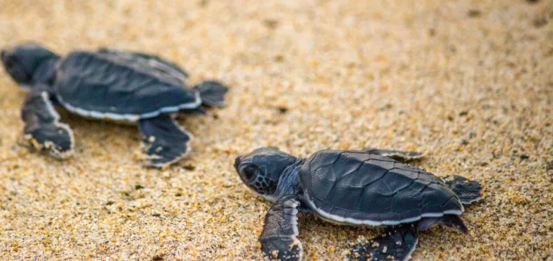
Sea turtles
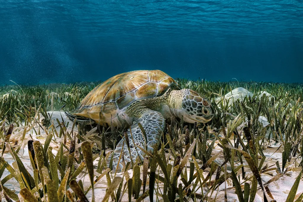
Hawksbill (critically endangered) and green turtles nest on Saona's beaches. FUNDEMAR runs a protection program from Mano Juan.
National park · Southeastern Dominican Republic
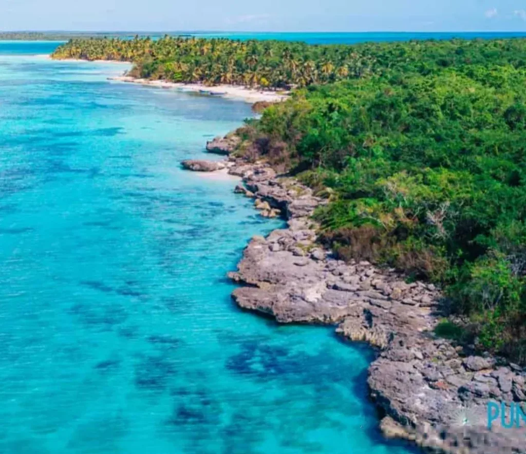
Seven hundred and ninety-one square kilometers of protected mangrove, dry forest, coastline, and Caribbean Sea — the entire southeastern peninsula of Hispaniola, plus the islands of Saona, Catalina, and Catalinita. It carries the name of a Taíno chief who once tried, and failed, to defend it.
02 / What it is
One of the largest national parks in the Dominican Republic — and one of the few that covers both substantial land and substantial sea. Saona Island is its most-visited feature, but it is a small fraction of what the park actually protects.

03 / The man behind the name
The park's name is not decorative. It belongs to a man who once led an armed rebellion on the same land it now protects, was hunted into a cave on Saona Island, and was hanged in Santo Domingo for his trouble. His story disappeared from the official record for five centuries. In 2014, the Dominican Republic put it back.
The Taíno were the indigenous people of Hispaniola — farmers, fishermen, the inventors of the hammock. They were not a warlike society. By the time Nicolás de Ovando arrived as governor in 1502, ten years had already passed since first European contact, and a combination of disease, forced labour, and outright slaughter had reduced their numbers to a fraction of what they had been.
Ovando's mandate from the Spanish crown was simple: pacify the natives, put them to work in plantations and gold mines. Most of the island's remaining Taíno chiefs accepted some version of submission. The eastern caciques — including Cotubanamá, who held authority over Higüey and Saona Island — did not.
A Spanish delegation came east to negotiate. The talks ended when one of the soldiers' attack dogs killed a lower Taíno chief. Whatever the negotiators had hoped to accomplish, that single act ended it. Soon after, a group of Spanish sailors stopped on Saona's beaches to rest on their way to Puerto Plata. Cotubanamá's warriors were waiting. None of the Spaniards survived.
Ovando's response was to send roughly five hundred armed soldiers east. The Spanish historian Bartolomé de las Casas — who would later become one of colonialism's most unflinching critics — described what followed as a "massacre in which hundreds of Taíno perished, of all sexes and ages." The survivors, around four thousand of them, were chained and shipped to Santo Domingo. Some had their hands cut off as a warning.
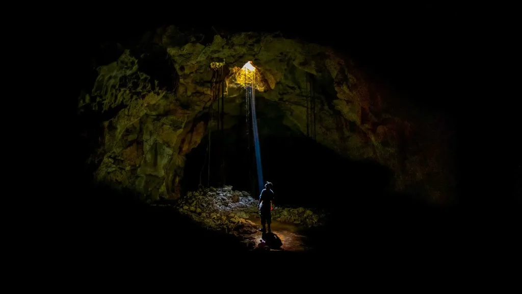
Through tortured captives, the Spanish learned that Cotubanamá had retreated to a cave on Saona Island — with his family and his most able warriors, planning a counterattack that would never come. They surrounded the cave. They took him alive. He was carried to Santo Domingo by ship, paraded before the governor, and hanged in a public plaza for three offences: setting fire to the home of a Spanish official three times, evacuating his women and elders to safer ground, and resisting Spanish rule.
That should have been the end of him. The Spanish were thorough about removing rebels from the historical record, and Cotubanamá's name slipped quickly into silence. For five hundred and twelve years it stayed there.
04 / What's inside
Cotubanamá covers more biological territory than most parks — partly because the southeast of Hispaniola was geologically lifted out of the sea relatively recently, and partly because no one has been allowed to develop it for fifty years.
Wetlands
The park's mangrove forests are nurseries for reef fish and feeding grounds for wading birds. Some operators run kayak trips through the channels.
Land
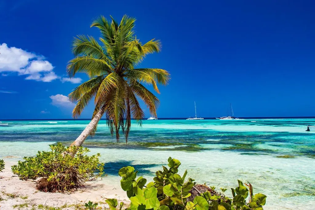
Coast
Sea
Underground
Wildlife
05 / Wildlife
The park's biological inventory is impressive on paper. In practice, on a one-day excursion, the highlights you'll likely encounter are these.
Marine
Hawksbill (critically endangered) and green turtles nest on Saona's beaches. FUNDEMAR runs a protection program from Mano Juan.
Reptiles
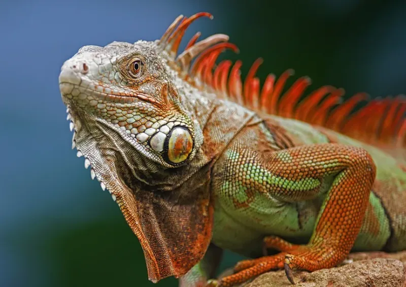
Endemic to Hispaniola, threatened across most of its range. The park is one of its last reliable habitats.
Reef
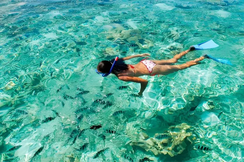
Yellowtail snapper, grouper, parrotfish along the reef edges. Manatees graze the seagrass — rare to see, but they're here.
Skies
Magnificent frigatebirds, brown pelicans, royal terns. Hispaniolan parrots in the forest interior, easier to hear than to spot.
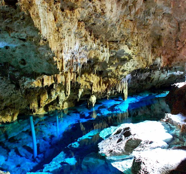
06 / Underground
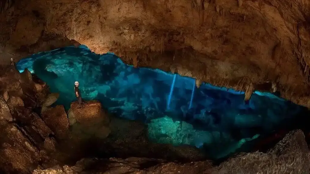
Limestone caves run all through the park's interior — natural shelters for the people who lived here long before contact. Many of them carry pictograph and petroglyph art: spirals, faces, fish, abstract figures whose meanings are still partially recovered.
The most-visited, Cueva del Puente, sits on the mainland near Boca de Yuma. It is open with a guide. Others — including caves where Cotubanamá and his warriors are believed to have sheltered — are not part of standard tourist itineraries and require coordination with park rangers and the Ministerio de Medio Ambiente.
If pre-Columbian archaeology is your reason for coming, ask in advance. Most standard Saona excursions don't include cave visits.
07 / How to visit
The park's only legal entry point for tourist traffic is the marina at Bayahibe. Park entry fees are included in any standard tour or charter — you don't pay separately at the marina. Independent visits are possible but require coordination with rangers.
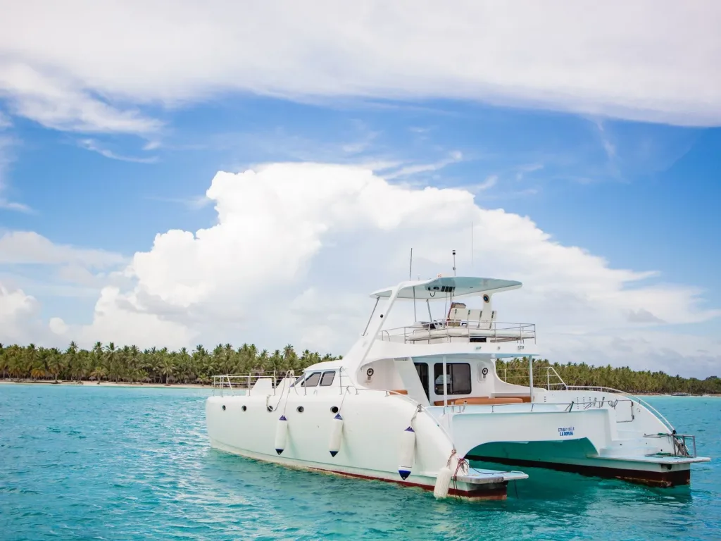
Premium · Your group only
The flexible option — visit Saona, Catalina, the mangrove channels, and (with advance notice) cave sites. Park entry, ranger fees, and permitting all included in the charter price.
About private yacht charters →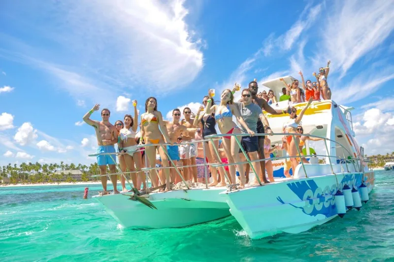
Value · Standard tour
The standard Saona Island day trip enters park waters from the moment you leave Bayahibe. Park entry fee is built into the per-person price. Cave visits are not typically part of the itinerary.
About the group excursion →08 / Common questions
Don't see your question? Either desk handles park-zone bookings every day and can confirm what's included.
Cotubanamá National Park is a protected area in the southeastern Dominican Republic, covering roughly 791 square kilometers of land and sea. It includes the southeastern peninsula of Hispaniola, the islands of Saona, Catalina, and Catalinita, mangrove forests, dry tropical forest, beaches, marine seagrass beds, and a network of caves with pre-Columbian Taíno art.
Cotubanamá was a Taíno cacique (chief and warrior) who led resistance against Spanish colonization in 1502 and 1503. After Spanish forces under Governor Nicolás de Ovando massacred and enslaved thousands of Tainos in the eastern region, Cotubanamá took refuge in a cave on Saona Island. He was eventually captured and publicly executed in Santo Domingo. His name was lost from official memory for over five centuries until the Dominican Republic renamed the park in his honor in 2014.
The park was originally created in 1975 under the name Parque Nacional del Este (East National Park). On October 8, 2014, Dominican President Danilo Medina signed decree 519-14, officially renaming it Parque Nacional Cotubanamá to honor the Taíno chief who once defended the same land.
Yes. Saona, along with Catalina and Catalinita, sits entirely inside the park's boundaries. The Natural Pool sandbar, Mano Juan village, and the surrounding waters are all protected park territory. This is why every Saona excursion requires entry through the official port at Bayahibe — the rangers monitor traffic into the protected zone.
Approximately 791 square kilometers (305 square miles), making it one of the largest national parks in the Dominican Republic. The land portion covers most of the southeastern peninsula plus the islands; the marine portion protects coastal waters and seagrass meadows critical to sea turtles and reef fish.
Some are accessible on guided visits. Cueva del Puente is the most visited; others, including caves with pictograph and petroglyph art, require coordination with park rangers and are not open to general tourist traffic. Most standard Saona excursions do not include cave visits — ask in advance if Taíno archaeology is part of why you're going.
Hawksbill and green sea turtles (nesting on Saona's beaches), the rhinoceros iguana endemic to Hispaniola, frigatebirds, brown pelicans, parrots, manatees in the seagrass beds (rare but present), and a wide range of reef fish and crustaceans. The marine zone is one of the better-preserved sites in the Caribbean.
Yes. The fee is modest and is always included in any official tour or charter price — you don't pay separately at the marina. If you arrange a private visit outside the standard tour structure, the operator will add the park entry to the booking.
No special permit is required for the standard Saona Island day-trip experience. Cave visits, overnight stays, scientific research, and access to restricted zones do require permits from the Ministerio de Medio Ambiente y Recursos Naturales. Standard excursion guests are covered automatically.
09 / Plan a visit
A private charter can spend the day inside park waters on your itinerary — beaches, reefs, and (with notice) caves and ranger-guided sites.
Park entry included. Saona Island, Natural Pool, lunch on the sand, hotel pickup.
Keep reading
Just your group, your captain, your day. The premium way to see the island.
Read on → Sailboat over, speedboat back, lunch on the island. The classic Caribbean day trip.
Read on →
The sandbar a kilometer from shore where you stand waist-deep in the open Caribbean.
Read on →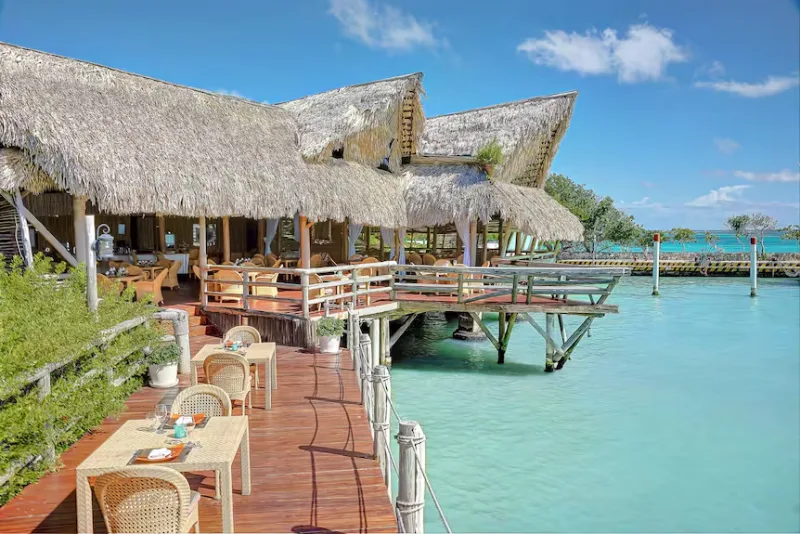
70 km south, 90 minutes by road, then 45 minutes by sea — all in one day from any Punta Cana resort.
Read on →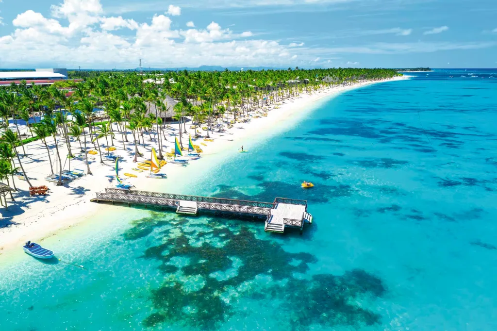
Pickup at any Bávaro Beach all-inclusive — the country's biggest hotel zone — for the day to Saona Island.
Read on →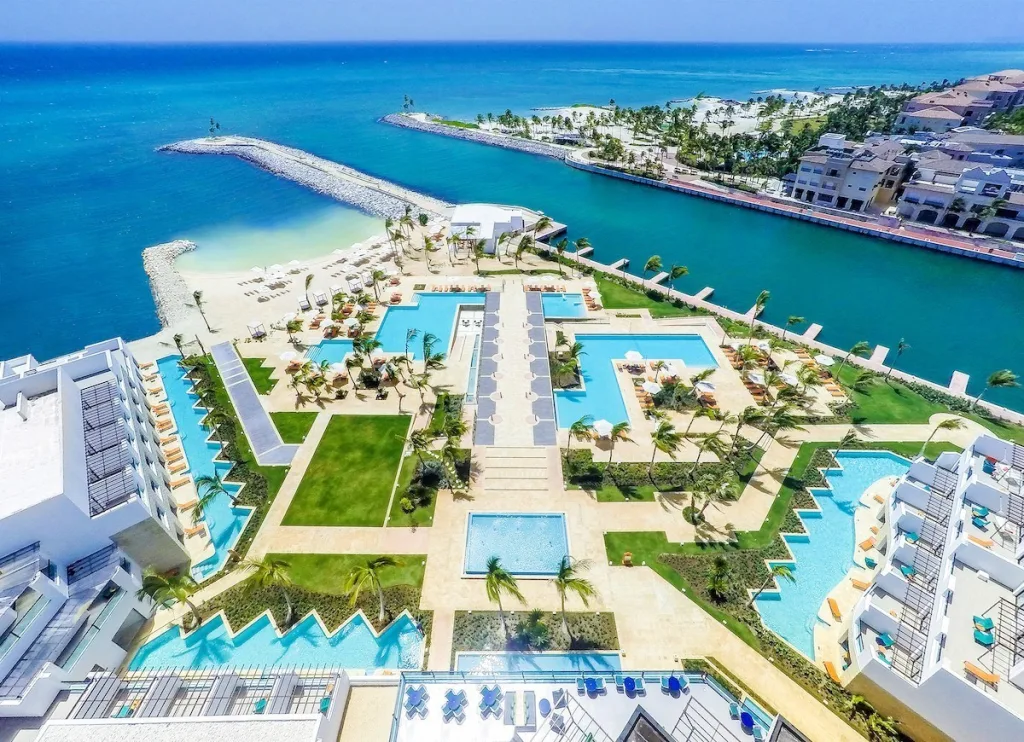
The premium way to do the day from the corridor's luxury enclave — picked up at Eden Roc, Secrets, Hyatt Zilara, and the rest.
Read on →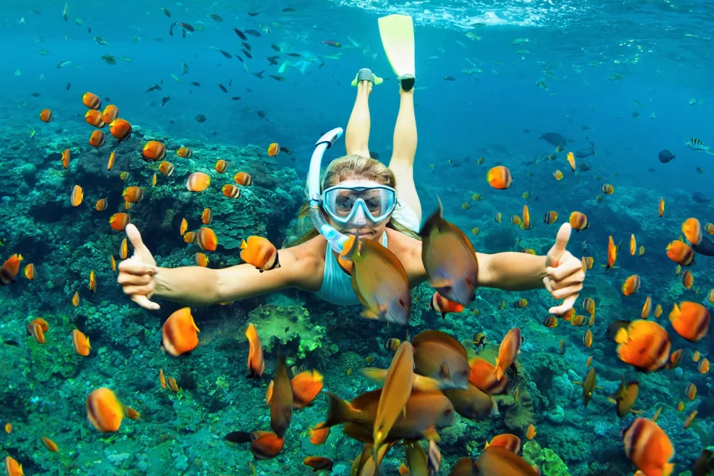
Two islands, twenty kilometers apart, very different days. Which one is right for your trip.
Read on →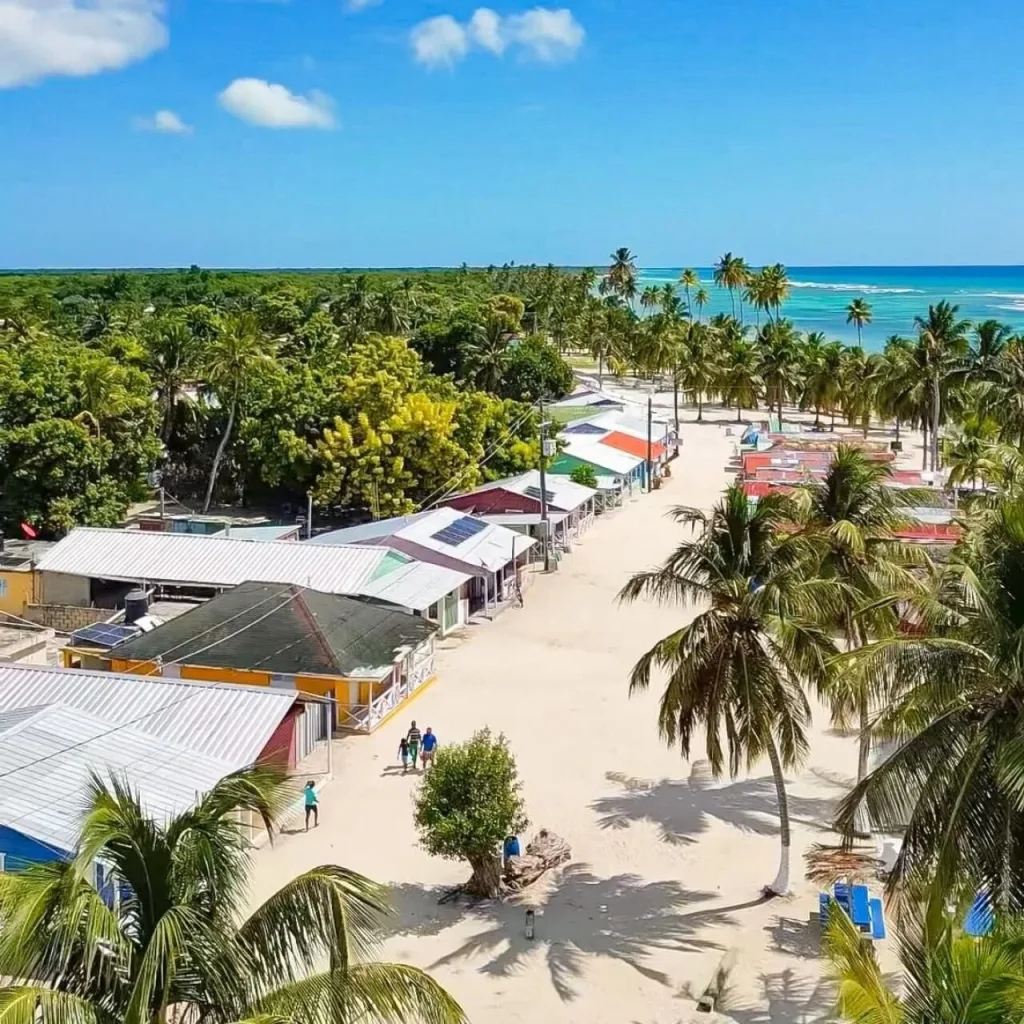
The only inhabited corner of Saona — a fishing village of pastel houses and a sea-turtle conservation center.
Read on →
Group excursions from $89 per person, private yachts from $1,800 per boat. The full pricing breakdown.
Read on →